Please click on the link below to see this weeks home school diary…
Home School diary wc 16th January
Post geography content here
Please click on the link below to see this weeks home school diary…
Home School diary wc 16th January
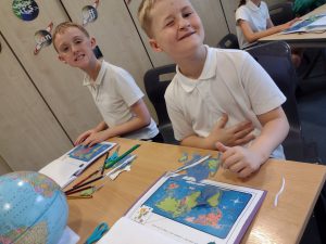
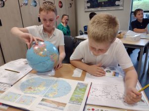
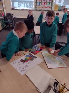
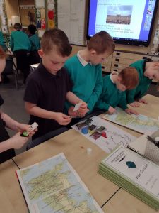
In geography this week, Year 3 have been discovering how the UK is separated into different regions.
We have used our knowledge of the 8 compass points to be able to label some of the different regions. We have talked about how the North East can be identified easily as it is the same as the compass point. East Anglia was a little more difficult to identify however, through discussion we realised the East Midlands was opposite the West Midlands.
Through our knowledge we were able to identify where Yorkshire is as we could spot the River Humber on the UK map.
After we had labeled the regions we used the Atlas to identify where some cities are and discussed which region they are in.
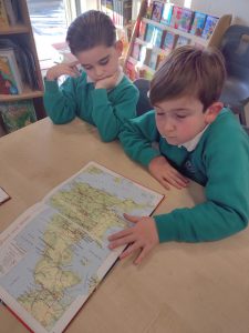
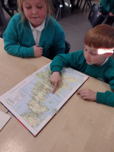
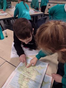
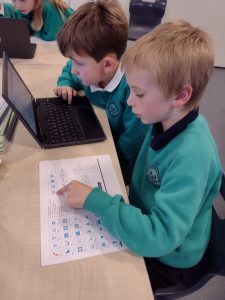
As geographers, we can identify cities such as Liverpool, Bath and Newcastle and say which region of the UK they are situated in. We used our grid reference skills to help us identify these cities through using the index in the Atlas. We read the grid reference and remembered to read across then up.
We can also identify significant landmark and say which region in the UK you would need to visit in order to see these landmarks. We identified landmarks such as The Angel of the North in the North East, Stonehenge in the South West and the Roman Baths in the South West.
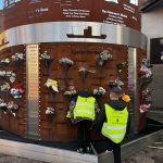
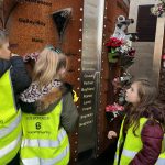
Thank you to Hull Children’s University who ran the trip for us – we all had a lovely time! Mrs O’Loughlin’s turn next week!
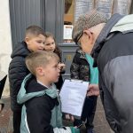
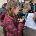
As geographers in Year 3 this week we have been looking at our local area and identifying features within it.
We have used Digi Maps to identify features of the local area, we were able to independently identify the river, coast line and main roads.
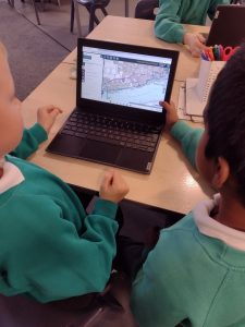
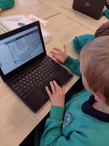
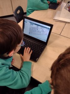
Year 3 have used ordinance survey maps on the Digi Maps programme. With the use of the ordinance survey legend/ key we can now identify many features. This includes being able to pinpoint the county boundary, we could see where the Hull boundary meets the Hessle and Cottingham boundaries on the west side of the city.
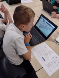
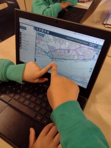
Using an ordinance survey map key we could also begin to identify local features such as picnic areas, car parks and public toilets. As we looked at central Hull we could begin to identify other features such as museums, churches and art galleries. We looked closely at the symbols and began to spot them as became more familiar with using the maps.
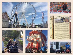
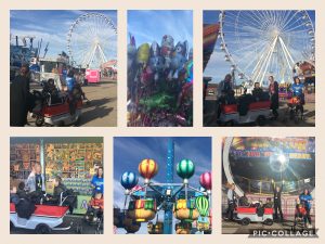
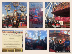
We have had the best time exploring all our emotions and senses at our ‘Hull Hub Fair’ this week!
Our Hub classroom was set up just like the real Hull Fair with stalls and simulating rides!
We travelled in style in our ‘Hub Bus‘ observing our local area and visiting Hull Fair!
We saw lots of rides and were amazed at the size of the ‘Big Wheel’. We viewed the homes of the travelling community and bought some tasty treats to try at our food tasting session.
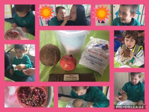
We couldn’t wait to taste all the food we bought at Hull Fair! We tasted candy floss, pomegranates, brandy snap, nougat. We loved the texture of the coconut but we didn’t want to taste it.
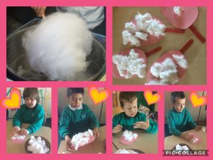
We made our own candy floss, using cotton wool. Some of us weren’t too sure about the texture and didn’t like it sticking to our fingers.
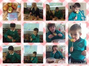
Making our own chocolate apples was the best activity of the week. Most of us went home with very chocolate but very happy faces.
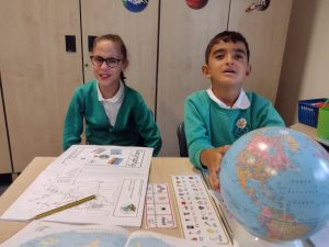
In Year 2 this term we having been learning about the world’s seven continents and five oceans. This week we learned about the equator. We located the equator on the globe and on different maps.
We then learned about the Northern and Southern Hemisphere. Phoebe told us, “We live in the Northern Hemisphere.”
We found some countries that lie on the equator and discussed what the weather is like there.
As Geographers, we started our new unit; ‘How does Life Differ in Hot and Cold Localities‘ by recalling what we have previously learned. We reviewed the names of the worlds continents and oceans using globes and atlases to support us. Aziz was very interested in finding Turkey in the Atlas and on the globe as he spent the summer there this year. We were surprised at the size of Turkey in relation to the UK!