As geographers in Year 3 this week we have been looking at our local area and identifying features within it.
We have used Digi Maps to identify features of the local area, we were able to independently identify the river, coast line and main roads.
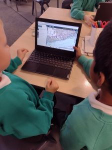
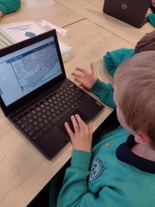
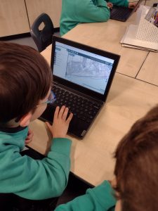
Year 3 have used ordinance survey maps on the Digi Maps programme. With the use of the ordinance survey legend/ key we can now identify many features. This includes being able to pinpoint the county boundary, we could see where the Hull boundary meets the Hessle and Cottingham boundaries on the west side of the city.
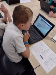

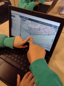
Using an ordinance survey map key we could also begin to identify local features such as picnic areas, car parks and public toilets. As we looked at central Hull we could begin to identify other features such as museums, churches and art galleries. We looked closely at the symbols and began to spot them as became more familiar with using the maps.