Contour Mapping in Y5

Y5 Geographers

Whilst we were exploring the world’s mountain ranges, we were able to find their heights at their summit. We noticed other lines on the maps and today we learned that these are called contour lines which indicate the steepness of which a hill or mountain rises.

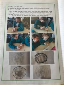
We had great fun trying to record contour lines of our mini potato mountains! By carefully cutting layers off the potato mountain we could record the shape and the gradient and create a representation of the mountains slope.
Topography Map Skills in Y5

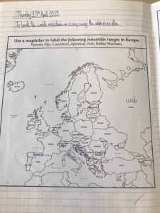
Today we put out mapping skills to use, using topography maps to locate Europe’s mountain ranges. We looked at the height above sea level and were surprised by some of our findings.

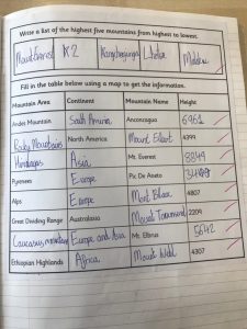
We then used data sources to identify the largest mountains in the world and compared their heights at their summits.


Y1 Map Work

In Year 1 we have been learning about maps. We have been looking at world maps, maps of the UK, street maps and transport maps.

We used Google Earth and Digimaps to zoom in on our planet, the continent we live in (Europe), our country (England), our city (Hull) and then our school (Christopher Pickering Primary). We all loved zooming in and finding the streets that we live on too – some of us were able to spot our house!

We looked at school and what it looked like from an aerial view – some of us thought that from a birds eye view our school looks like a rabbits head and ears!

We found out that we would be labelling a map of the school and trying to find some of the physical and human features that we have here.

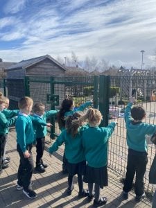
Although we see parts of our school everyday, we decided to go and have a look at some of the features. We found the forest area and knew that this was a physical feature and we found the car park and we knew that this was a human feature.

Once we had been all around school we came back into the classroom and wrote down some of the things that we saw and made a symbol to represent it.

Y3 Cartographers!

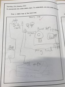
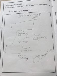
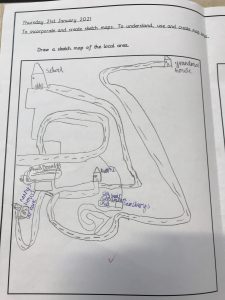
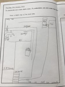
This term in year Three, we are learning to become cartographers – drawing and creating maps. We looked closely at a sketch map and discussed who might need, use or draw a sketch map. We then used digital tools such as google maps and google earth to look at the area local to our school from which we created superb sketch maps – take a look.

.

Maisy’s map could direct you from  CPPS to Little Sainsbury’s or Alid! Superb work!

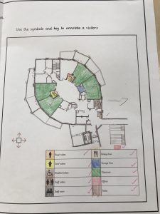
Then we looked at the important details included in a map and learned how to read and use a key. We explored symbols and talked about which symbols were most effective when creating a key.

We spoke to Mr Wileman, our site supervisor, and asked to look at the maps of the school which he uses. We used the Key to identify the places which we use within our large, school building and explored the sizes that were represented to scale.


We are looking forward to getting out and about, to enable us to put our mapping skills into practise with some Geographical fieldwork.

In FS2, we have been developing our ICT skills.

ICT skills can help promote confidence and also persistence – encouraging pleasure in learning by enhancing engagement, motivation and the lovely desire to learn.

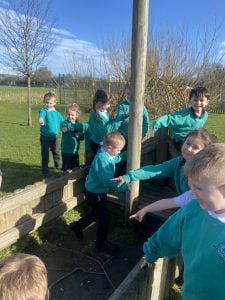
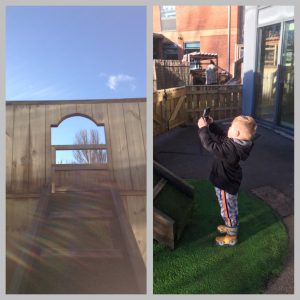
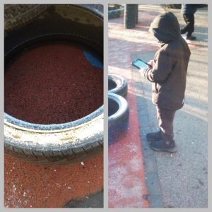
So, after a little introduction on how to use the iPad – off we went and got snappy!

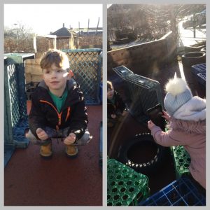
The children loved experimenting, the choice of the subject was entirely up to them, as were the camera angles – natural, self learning is so wonderful to observe.

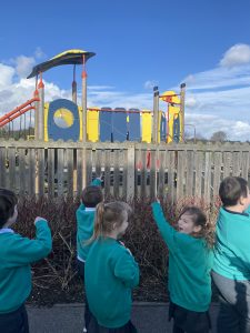
They decided when they needed to point the camera high…

…when it needed to be low …

…and when we needed to bend down to capture the perfect picture!

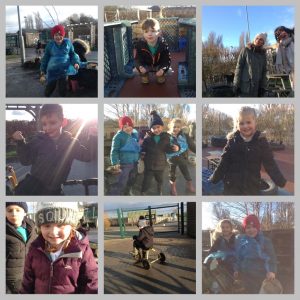
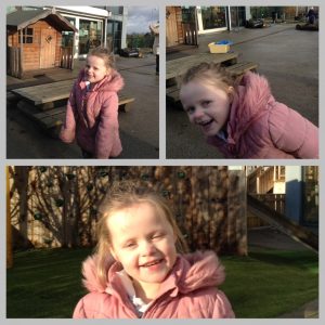
The children took photographs of their friends (and teachers!) having fun and being happy…

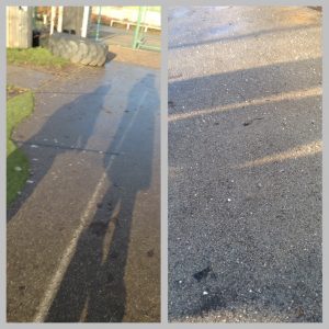
…photographs of shadows…

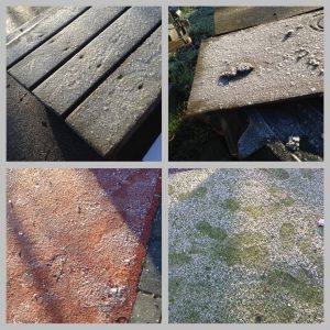
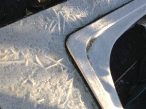
…close-up photographs of the frost…

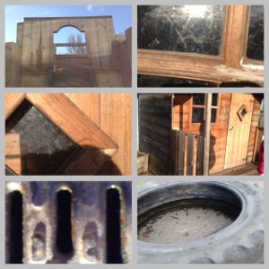
…and our outdoor equipment.

⭐️ We think their photographs are amazing! ⭐️

History and Geography

As part of the WWII topic in year 3, the children have been learning about The Blitz. They investigated cities in the UK that were bombed and were able to suggest reasons for this. For example, because of the city’s location or industry. They discussed what life would have been like during The Blitz and understood it’s importance in terms of the course of the war.