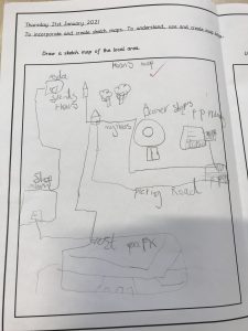
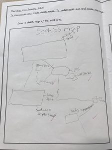
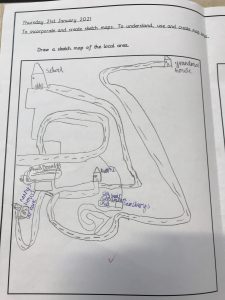
This term in year Three, we are learning to become cartographers – drawing and creating maps. We looked closely at a sketch map and discussed who might need, use or draw a sketch map. We then used digital tools such as google maps and google earth to look at the area local to our school from which we created superb sketch maps – take a look.
 .
. 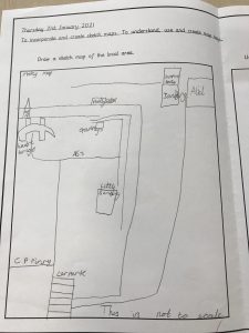
Maisy’s map could direct you from CPPS to Little Sainsbury’s or Alid! Superb work!
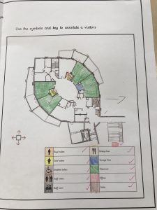
Then we looked at the important details included in a map and learned how to read and use a key. We explored symbols and talked about which symbols were most effective when creating a key.
We spoke to Mr Wileman, our site supervisor, and asked to look at the maps of the school which he uses. We used the Key to identify the places which we use within our large, school building and explored the sizes that were represented to scale.
We are looking forward to getting out and about, to enable us to put our mapping skills into practise with some Geographical fieldwork.