In Year 1 we have been learning about maps. We have been looking at world maps, maps of the UK, street maps and transport maps.
We used Google Earth and Digimaps to zoom in on our planet, the continent we live in (Europe), our country (England), our city (Hull) and then our school (Christopher Pickering Primary). We all loved zooming in and finding the streets that we live on too – some of us were able to spot our house!
We looked at school and what it looked like from an aerial view – some of us thought that from a birds eye view our school looks like a rabbits head and ears!
We found out that we would be labelling a map of the school and trying to find some of the physical and human features that we have here.
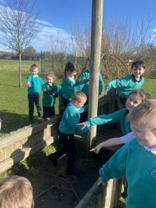
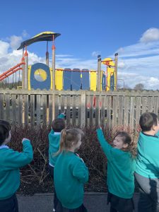
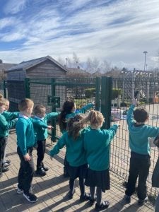
Although we see parts of our school everyday, we decided to go and have a look at some of the features. We found the forest area and knew that this was a physical feature and we found the car park and we knew that this was a human feature.
Once we had been all around school we came back into the classroom and wrote down some of the things that we saw and made a symbol to represent it.