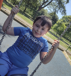
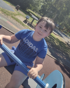
As Geographers, the Y5 students have been learning about how rivers are formed. They’ve explored UK rivers and world famous rivers but with us living in a city that is shaped by two rivers, The River Hull and The River Humber, we wanted to take our learning outside of the classroom to find out more.
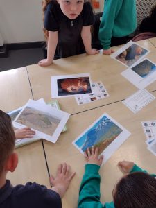
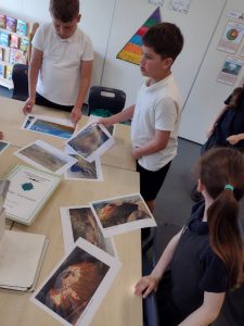
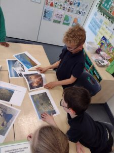
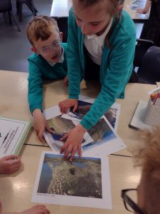
We challenged our Y5 Geographers to identify how land is used beside the river at various points and how the function of the river changes as a result.
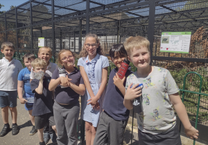
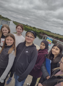
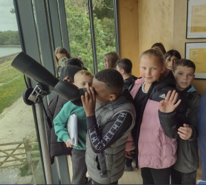
Our first stop was at the mouth of the RIver Hull!
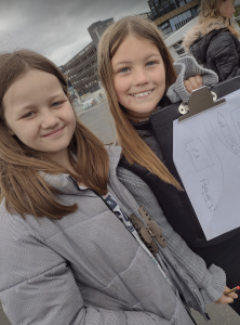
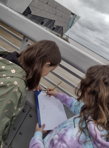
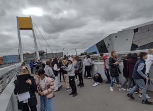
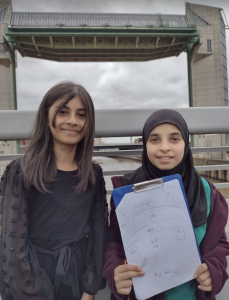
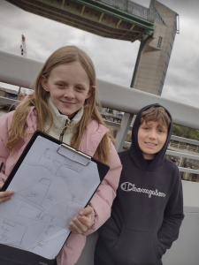
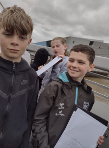
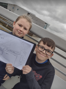
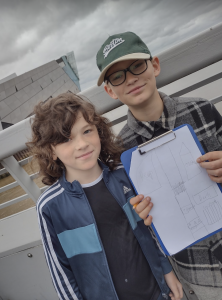
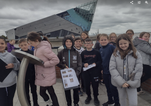
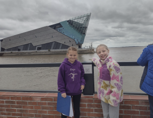
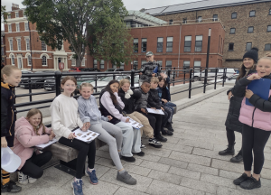
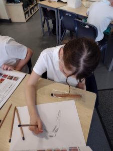
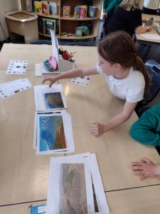
We identified land use, talked about the changes in the area and the promotion of tourism. We created excellent sketch maps, working with our partner to label and identify significant human and physical features. We looked at flooding defence and the importance of the huge tidal barrier that can be seen near The Deep.
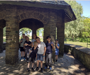
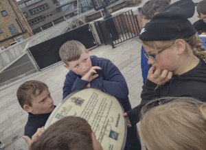
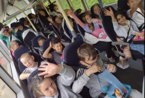
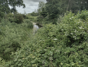
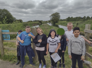
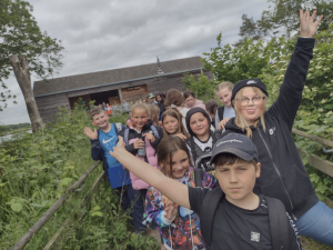
For the second part of the visit, we headed inland as we followed the course of the River Hull all the way to the outskirts of Driffield. Here we visited the Yorkshire Water Nature Reserve, Tophill Low. We learned about reservoirs, drains and fish gates here as well as rivers from our very knowledgable guide Richard. We asked fantastic questions as Richard helped us to complete our fieldwork tasks. This was such a contrasting setting to the urban mouth of the river, a tranquil rural beauty spot where tourism was also encouraged to help fund flood prevention in our area.
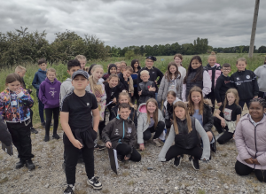
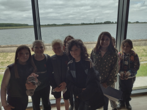
Richard told us that the enormous reservoirs at Tophill hold enough water to supply Hull for 90 days!
Being knee deep in the grasses, there was lots of talk about snakes! Richard showed us the skins of the snakes that live in the area but told us not to worry, as soon as they heard our footsteps (and voices) they would have scarpered and were not at all venomous!
Needless to say, after getting all of those ‘steps in’, we were shattered on the way back!