Weather and Climate

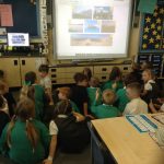
Session 2 of Year Four’s ‘Climate Action – Farm in a BOX’ Project.

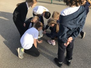
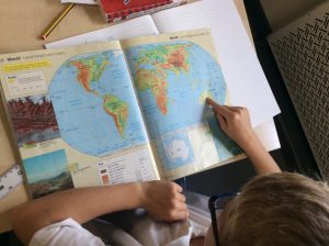
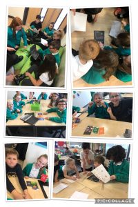
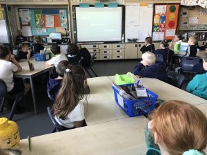
This afternoon, pupils considered the difference between weather and climate. We looked at how daily weather changes affect our lives and the lives of Farmers through the Farmers year game. The pupils considered how climate change is affecting the Farmer’s annual cycle and how their work load can be dramatically affected by the severe weather in a typically, predictable maritime climate.

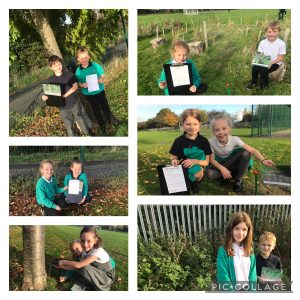
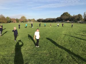
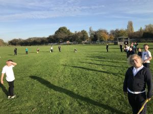
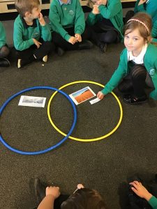
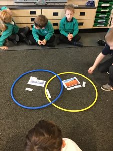
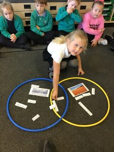
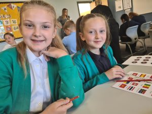
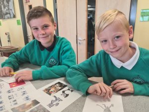
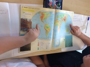
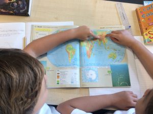
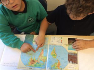
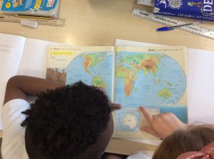
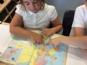
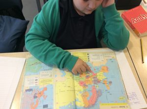
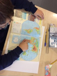
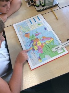
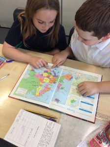
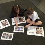
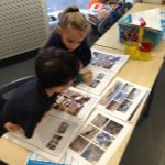
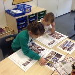
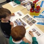
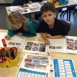
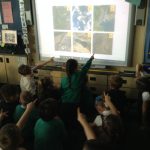
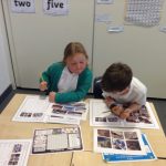
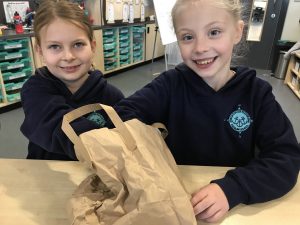
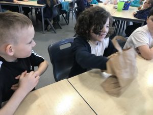
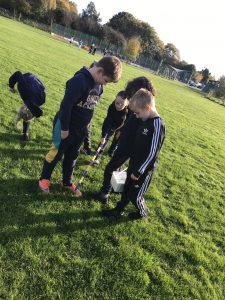
The pupils examined photo-cards and considered the challenges of land in various spots across the farm. Out on our school field, the children then were able to locate a similar spot and worked as a team to measure the temperature of the soil and assess the weather conditions in this area. As teams, the children worked well to interpret a farm’s rainfall data, which was presented as a graph. They looked at an average data set and compared it to the measurement taken oven one year. The children were able to deduce that climate changes have resulted in heavier or less rainfall during unexpected months.


Looking at Earth from Space in Year 2!

We have been looking at aerial photos of the physical features of Earth in Year 2 today. We found mountains, rivers, lakes, cities, deserts and islands. We used Digimaps for Schools to zoom in and out of various parts of the world and look at aerial views. Finally, we matched aerial photos to photos taken from Earth to compare the features.

Climate Action Farm in a Box

Session One

The Y3/4 children have been talking about COP 26 in Glasgow this fortnight. Today, they were excited to participate in our first ‘Climate Change Farm in a Box’ session.

We began by watching a video, presented by a boy called Harry who explained the inputs, processes and outputs of a farm. Some of these we already knew, but there were a few interesting ones to consider such as the farming of solar and wind energy.

Feely Bags were then passed around the class as the pupils tried to work out what was in the bag and how it represented a Farming input or output.


After this discussion, we went outside. We calculated that to grow enough wheat to feed one person for a year, the farmer would need an area of 15 metres squared! We use a variety of measuring tools and worked as teams to mark out the area. Here we are stood around the perimeter! We were quite taken back by the amount of land needed just to feed one person!

.

We then considered if this person ate foods other than wheat, such as beef. We were staggered to calculate that this required 79 squared metres of the farmers land! We got out the trundle wheel and found that this area was equivalent to the majority of our enormous school field!


deserts

As geographers this week, year 1 have been discovering facts about deserts.

Lots of year 1 thought that a desert had sand and it was always somewhere hot.

Did you know Antarctica is the worlds largest desert?

We found out that Antarctica is the coldest, windiest and driest place on earth.

We looked at the Sahara desert  and compared it to Antarctica.

Year 1 completed a Venn diagram to identify the features of a hot desert and a cold desert. We found out that lots of things are the same in both deserts.

We had lots of discussion about what the deserts are like.

Phoebe thinks that neither of the deserts are nice as one is too hot and one is too cold.

The seven continents

In Year 1, as geographers, we have been discussing the continent of Antarctica.

We found out that Antarctica is at the bottom of the world. We could identify it using the globes. We took it in turns to hold a globe up so our friends could find and point to the continent.

We also took it in turns to look closely at the globe and saw all of the different continents. We could all find Antarctica thanks to it’s other name ‘The South Pole’.

Once we could identify Antarctica on a globe we looked at different maps to locate the continent on them. We were all really good at identifying Antarctica as it is at the bottom and it is usually white.


Some of us were also able to identify the continent we live on as Europe. we could then find it on the map and globe and were able to show our friends where it is.

The children in Year 1 can name their continents and are very proud of showing everybody how good they are at recalling all 7 in size order.

IMG_5745[1]


Y6 visit to Sirius!

Y6 students had a fantastic day of learning at Sirius Academy West today. We took part in a carousel of olympic themed activities and demonstrated fantastic team work to win as many point as possible for the countries we were representing!


In the maths session, we playing ‘archery maths’ and studied sprint times from the 100m races. This tested our mental maths skills and ability to order numbers up to 2 decimal places. We also enjoyed spotting lines of symmetry on the countries’ fags!

We worked really hard in art to develop our light sketching skills and design and draw our own olympic mascots.

In computing, we programmed an electronic game of squash and loved spending time in the designated computer suites!

We had so much fun playing competitive geography games which tested our knowledge on the countries involved in hosting the olympics and also the continents in which they were held!

Year 5 Geography

This afternoon, Year 5 began studying the Ancient Greeks. To start the topic, we looked at the geographical location of Greece. We started by recapping the names of the oceans and continents, labelling these on a world map and discussing countries that are in each continent. We then zoomed in on Europe, looking at the location of Italy (which we studied in Year 4 when learning about the Romans) and Iceland (which we studied when looking at WWII in Year 4). Next, we located Greece on the map, looking at the countries and seas that border Greece. To finish our lesson, we did some research, looking at the physical features of Greece. We learned that Greece has a Mediterranean climate with hot, dry summers and is composed of the mainland and around 6,000 islands!