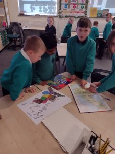
In geography this week, Year 3 have been discovering how the UK is separated into different regions.
We have used our knowledge of the 8 compass points to be able to label some of the different regions. We have talked about how the North East can be identified easily as it is the same as the compass point. East Anglia was a little more difficult to identify however, through discussion we realised the East Midlands was opposite the West Midlands.
Through our knowledge we were able to identify where Yorkshire is as we could spot the River Humber on the UK map.
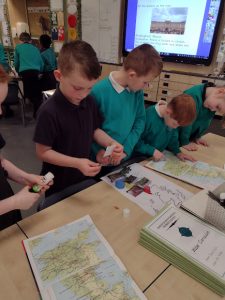
After we had labeled the regions we used the Atlas to identify where some cities are and discussed which region they are in.
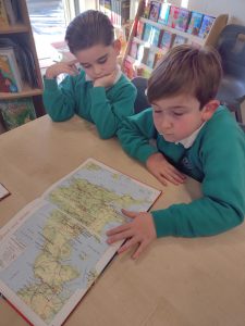
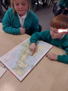
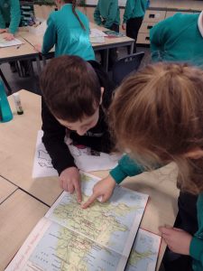
As geographers, we can identify cities such as Liverpool, Bath and Newcastle and say which region of the UK they are situated in. We used our grid reference skills to help us identify these cities through using the index in the Atlas. We read the grid reference and remembered to read across then up.
We can also identify significant landmark and say which region in the UK you would need to visit in order to see these landmarks. We identified landmarks such as The Angel of the North in the North East, Stonehenge in the South West and the Roman Baths in the South West.